Schematic Map Bhilai

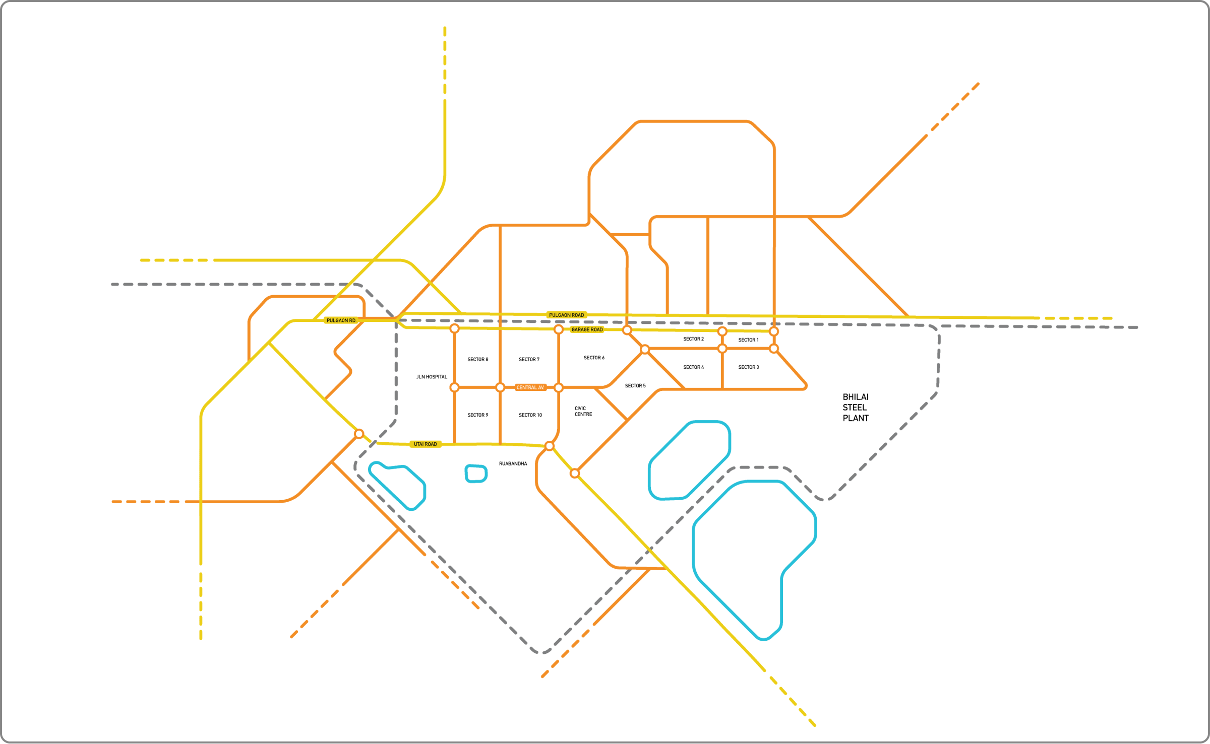
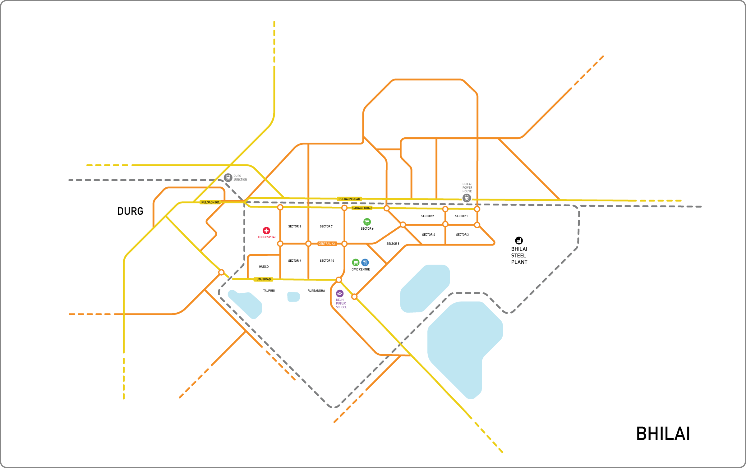
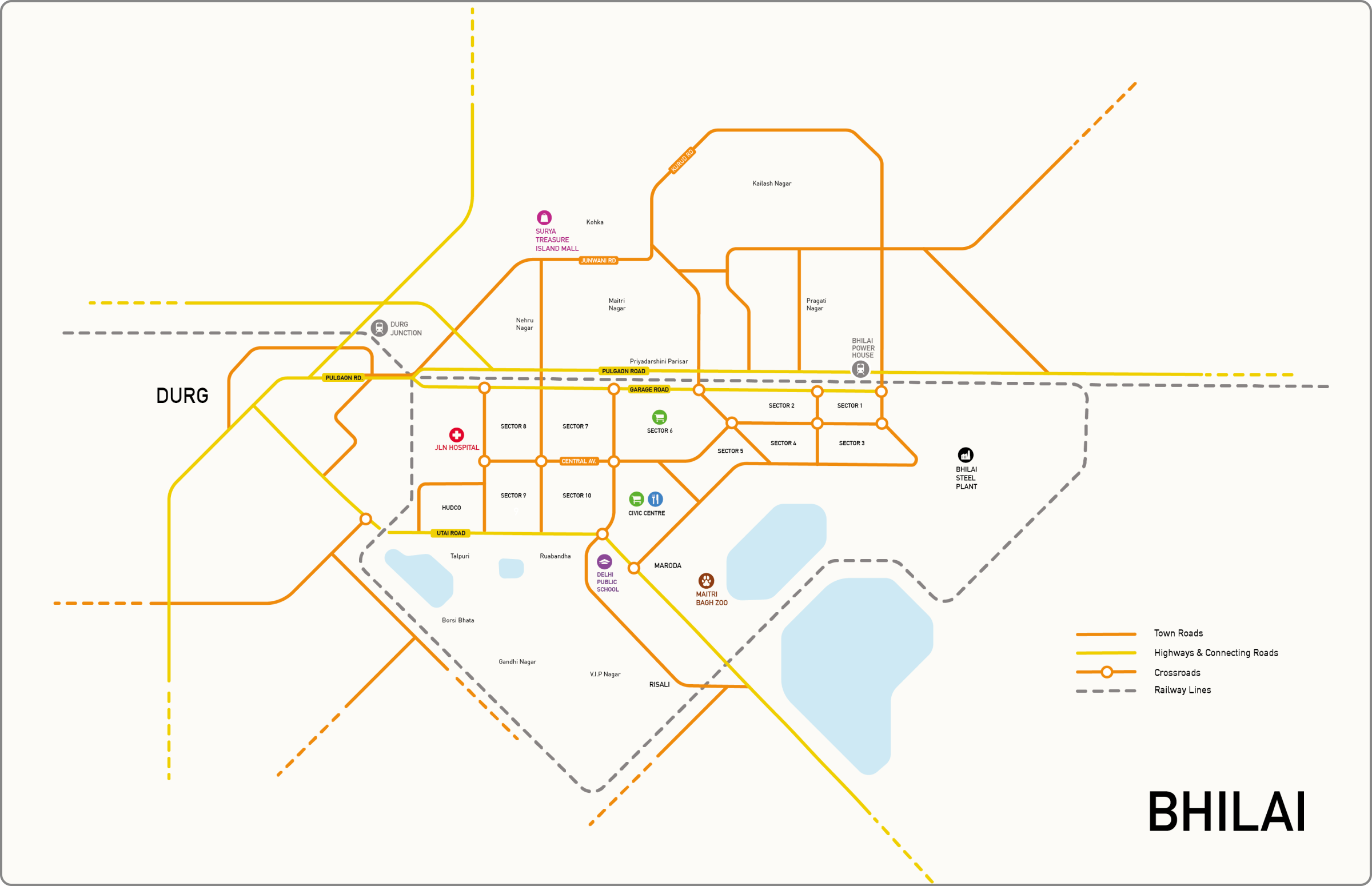
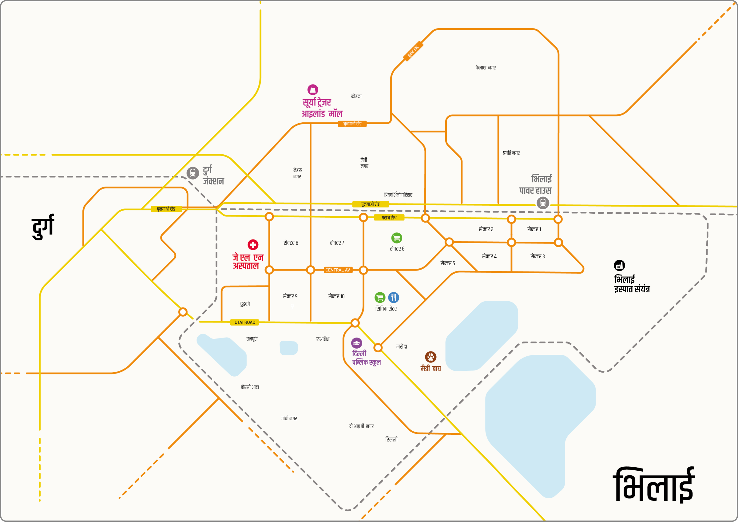
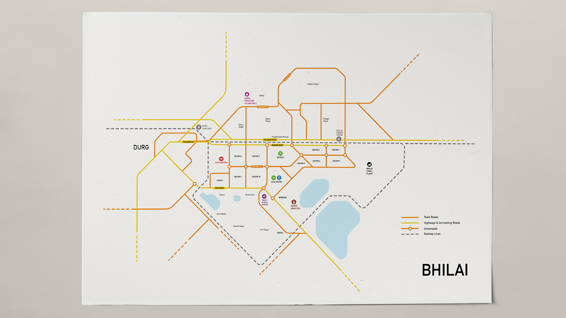
Bhilai Schematic Map

A map built to geographically represent relevant details of the town of Bhilai.
August-September, 2019 • 3 Weeks • Information Design • Cartography • Indie
Scroll Up

What is a Schematic Map?

A schematic map is a geographical representation of the elements of a system using abstract, graphic symbols rather than realistic pictures.


It usually omits all details that are not relevant to the key information and is intended to convey, and may include oversimplified elements in order to make this essential meaning easier to grasp.


Bhilai, Chhattisgarh, India

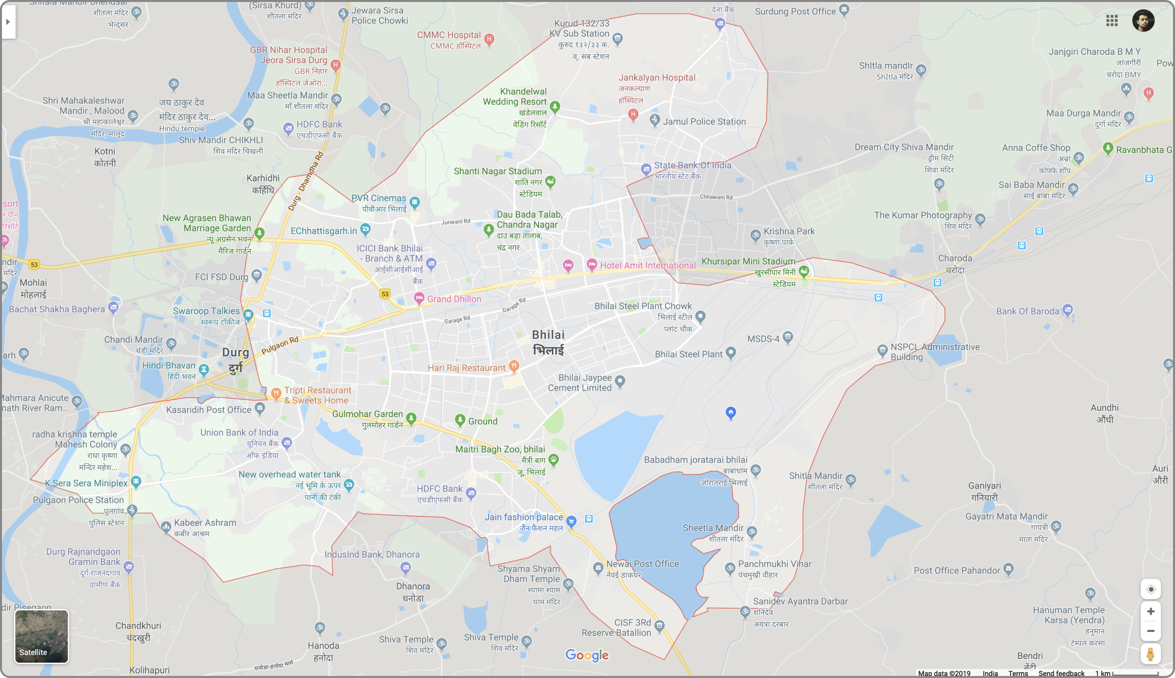
Bhilai is a city in the district of Durg, Chhattisgarh, in eastern central India with an urban population of 1,064,222.


Bhilai is home to the Bhilai Steel Plant, the first Indian plant to produce steel rails, which was established with help from the Soviet Union in 1955.


Process


Step 1 : Deciding the area to be represented.

Step 2 : Outlining Important & Connecting Roads.

Step 3 : Defining Grid & abstracting Roads.

Step 4 : Rounding corners, marking the sectors & the crossroads.

Step 5 : Adding the railway lines passing through the town.

Step 6 : Adding icons & places of interest.

Step 7 : Adding Other Zones & further detailing the map.

Step 8 : Adding Legend & final touchups.

A zoomed in view.

Hindi Version

Would love feedbacks & suggestions, Thank You.

Other Projects

Turtle

An olympiad designed to promote value education amongst students of different age groups.

Rebranding Jet Airways

A submission for an 8-hour rebranding task for Inter-IIT Cultural Meet, 2019.

Show All